A varied route with stunning views from the South Downs Way before passing through historic Lewes and then back alongside the peaceful Ouse.
 Distance: 12.6 miles (20.3 km)
 Ascent: 322 metres
 Route grade: 49 (equivalent to Moderate)
 Time to allow: From 5h 30m to 9h 15m
 Starting point: YHA South Downs
Grid reference: TQ 433 055
What3Words: ///soups.decreased.anchors
End point: Circular, to YHA South Downs Region: South East of England
 Type of walk: Hill, Riverside, Town
 National Parks & National Landscapes: South Downs National Park
 Trails and Ways: South Downs Way, Sussex Ouse Valley Way
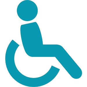 Wheelchair accessible: No
 Pushchair accessible: No
  Stile free: No
  Seats on route: Yes
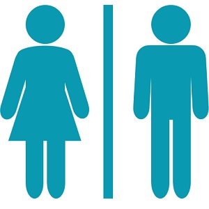 Toilets: Yes
  Touch free: No
  Food and Drink: Cafe/s, Pub/s, Shop/s, Town
 This route is included in: YHA Festival of Walking
YHA and walking have been perfect partners since 1930. YHA celebrates with a walking festival in autumn so everyone gets the chance to discover the joy of walking. This walk was produced as one of the 180 self guided walks which start and finish at hostels.
Click here for more information.
Get the route
OS Map: OS Explorer 1:25k (OL11) Brighton and Hove
