Walking books and printed route guides do more than tell you where to walk. They are inspirations and may even be works of art. Reading them, even with no intention of undertaking a walk – at least before you started reading – they can transport you into the great outdoors. That is why I collect walking books including many second-hand from charity shops (more on that in another blog) and also why I enjoy working with the great Ron Scholes.
Ron’s books are full of information, inspiration and imagery. They provide not only a round up of the history, topography and geology of the area surrounding the routes, but also show Ron’s absolute passion for the spaces he has found himself in. And that can be quite infectious.
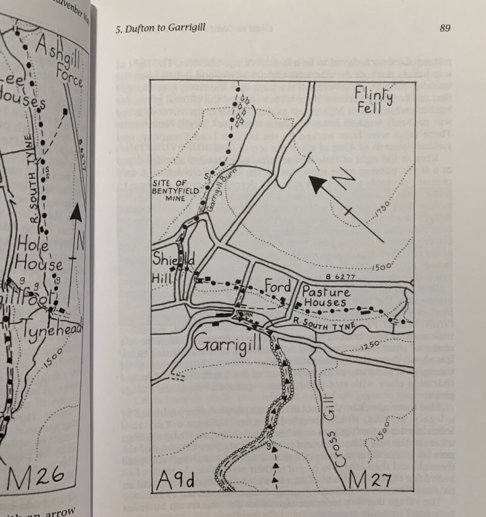
In his book Coast to Coast on the Ravenber Way Ron carefully describes each turn, village and town on the route across Northern England. Following his journey from Ravenglass on the Cumbria coast to Berwick-upon-Tweed in Northumberland Ron not only describes the route, but has also hand drawn each of the fourteen route sections in detail.
Hand drawn maps fit well with the personal and helpful nature of Ron’s books. It feels like he has carefully chosen the most relevant information to help walkers on their way. Of course, hand drawn maps sit alongside OS maps or apps for navigation. But for inspiration and added value hand drawn maps are great.


It can also be quite enjoyable translating a hand drawn map onto an OS map, and doing so will provide a great understanding of what the route entails. Although the gpx of the Ravenber Way can be downloaded from https://ravenberway.uk.
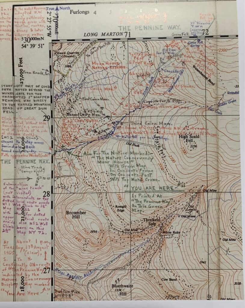
Ron’s latest book A Pennne Odyssey – ‘a walk from the Staffordshire Moorlands and Derbyshire Dales to Hadrian’s Wall’ – does not buck his style. It is a superb read for fans of both Ron and Alfred Wainright as the introduction to this new Purely Pennine Way includes personal accounts of meetings with Wainright and also some of the original route scouting notes which led to The Pennine Way.
The introduction is much longer in this book and provides an interesting read for any Pennine walker. The route sections are again hand drawn and they are accompanied by many personal photos, hand sketches and paintings, which make this book very special.
With more and more walking apps and websites becoming available it has never been easier to find great places to walk. New technologies such a drone and 360-degree photography are providing new ways to visualise walks and create inspirations. This has been used particularly well by Exmoor National Park in their ‘strolls’ and ‘explorers’ series of walks where well-designed route guides and videos show walkers what to expect.
For me though, there is something pleasing about packing a walking book for a trip, or relaxing with a cup of tea and reading a few routes in a new area, or even studying a route guide in detail alongside a map (or OS Maps App) and carefully transcribing the route before heading out.
Wherever you get your inspiration for new walks, enjoy!


