Outdoors for All from the All Party Parliamentary Group (APPG) for Outdoor Recreation and Access to Nature provides ten headline recommendations and 40 other recommendations for increasing access to blue and green spaces.
The report recognises the benefits of being outdoors for physical health, mental health, the rural economy, and the importance of nature. It also highlights the access challenges faced by many disabled people. One quote stood out though, and it’s encouraging that the author chose to include it:
“I believe comprehensive digital mapping of green/blue space and PRoW asset data could make an important contribution towards the planning of a better connected and accessible PRoW network, by i) empowering disabled people to make informed choices about where they can travel along the PRoW network in the same way non-disabled users may do, and ii) helping to identify where smaller interventions and investments may have the greatest impact” – Walk Colchester.
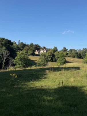
Access Review on Gravetye Estate
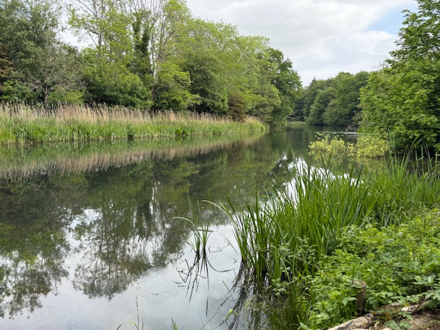
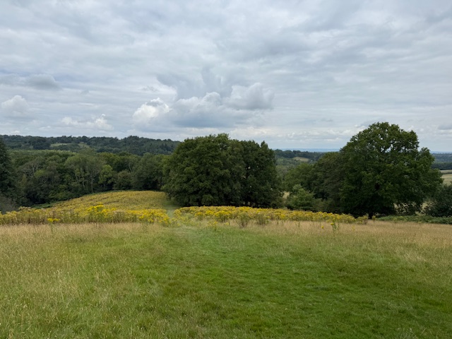
Walking Pace has been working on access mapping for a while with One Mile Walks. And over the last few months we have been populating an access map for the 600-acre Gravetye Estate in West Sussex.
Gravetye Estate is managed by the William Robinson Gravetye Charity who are working wonders with limited resources and a team of volunteers to enhance nature, promote biodiversity, educate children and provide access to the outdoors. The charity has committed to improving its network of paths, walking trails and facilities for disabled volunteers and visitors.
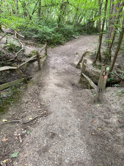
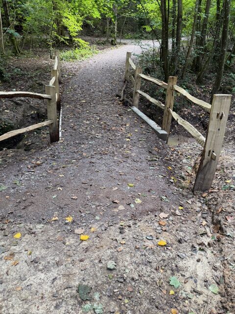
The Walking Pace access review across the estate provided detailed feedback on the estate’s main walking trail, and also provided a summary of the condition of each path and feature across the estate.
Access Mapping the Gravetye Estate
Twenty miles of paths, tracks and rides have been presented on an interactive map showing degrees of accessibility. Path accessibility level is based on measurements and observations recorded on the ground compared to specific criteria, derived from various points of guidance for disabled access to the outdoors. The access map provides a visual representation of accessibility across the site.
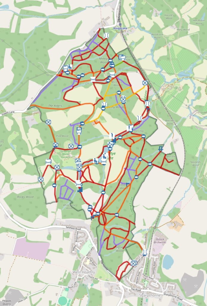
Visitor Access Maps
The access map for the Gravetye Estate was initially intended to support the charity to identify access priorities, but disabled visitors to the outdoors could use maps similar to this to plot routes to suit their access requirements.
Like the APPG report, I too would look to Ordnance Survey (OS) and Open Street Map to enhance their data for access purposes. OS standard maps have recently added stiles, and Open Street Map records many features including stiles, gates and steps. Though it is not possible yet for a wheelchair user to plot a route with confidence.
Walking Pace will continue to develop the public facing Access Map with the aim to provide information for disabled people to pick their own route. If more landowners add their data, then the better the information will become. If mapping organisations assimilate the concept, then the wider the reach will be.
It would be great to get your thoughts:
- Would a public facing version of this map (or similar iteration) be useful? Or is describing accessible routes enough?
- What data should be included on the map and how best to represent it?
- Map data is only useful if people know what it means for them, can we agree shared criteria for judging levels of accessibility?
- Is providing a summary of path accessibility level sufficient (i.e. accessible for, some, not accessible, etc.) or should details about path, such as surface, gradient and cross fall, be included on the map?
Get in touch with Walking Pace
